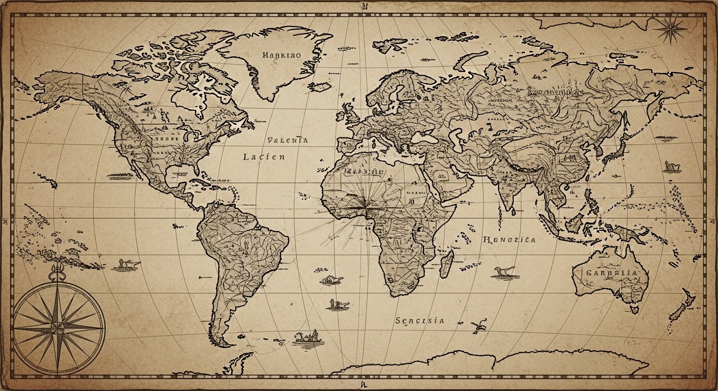
Maps are often treated as practical tools — simple representations of geography meant to guide travelers and define borders. Yet some ancient maps challenge this assumption. Long before modern exploration, satellite imaging, or global navigation, certain maps appeared that seem to depict parts of the world with an accuracy that historians struggle to explain.
These maps raise uncomfortable questions. How could ancient cartographers represent coastlines, continents, and landmasses that were supposedly unknown at the time? Were these maps based on lost sources, forgotten exploration, or knowledge that no longer survives?
Cartography Before the Age of Discovery
Conventional history teaches that accurate world maps only became possible after the Age of Discovery, when long-distance sea travel expanded European geographic knowledge. Before that, maps are often assumed to be symbolic or speculative.
However, archaeological evidence shows that cartography existed far earlier. Ancient civilizations mapped rivers, coastlines, cities, and trade routes with impressive precision. These maps were not artistic fantasies — they were functional tools used for navigation, administration, and commerce.
In some cases, the accuracy of these early maps exceeds what historians expect from the technology available at the time.
Sources That No Longer Exist
One of the most intriguing aspects of ancient maps is that many appear to be copies of even older originals.
Cartographers often referenced earlier sources, sometimes acknowledging that the information came from “ancient authorities.” Unfortunately, many of these source maps have been lost to time. Fires, wars, and the collapse of civilizations erased the originals, leaving behind only later reproductions.
This raises the possibility that some ancient geographic knowledge predates the civilizations that preserved it.
Coastlines Drawn With Unusual Precision
Some ancient maps display coastlines that align surprisingly well with modern measurements. In certain cases, the proportions, angles, and relative distances resemble what would be expected from advanced surveying.
This level of precision is difficult to reconcile with the limited navigation tools typically associated with ancient societies. While early sailors were skilled observers, mapping long coastlines accurately requires consistent reference points and mathematical understanding.
Historians continue to debate whether this accuracy resulted from exceptional skill, accumulated observation over centuries, or access to older geographic data.
Knowledge Preserved Through Copying, Not Exploration
It is important to understand that mapmaking does not always require firsthand exploration. Knowledge can be inherited.
Ancient maps may represent the survival of geographic information passed down through generations. As empires rose and fell, cartographers copied older maps, sometimes without fully understanding their origins.
Over time, the context behind the information was lost, even as the information itself remained embedded in the map.
The Role of Trade and Cultural Exchange
Trade networks played a crucial role in spreading geographic knowledge. Merchants, sailors, and travelers exchanged information about distant lands, coastlines, and ports.
Maps could accumulate this shared knowledge gradually, combining firsthand experience with secondhand reports. Over centuries, this process could produce surprisingly accurate representations of distant regions.
What appears mysterious today may reflect a long tradition of cumulative knowledge rather than a single moment of discovery.
Why These Maps Challenge Modern Assumptions
Ancient maps force historians to reconsider assumptions about the limits of early knowledge. They suggest that ancient societies may have understood more about the world than surviving records imply.
This does not mean that ancient civilizations possessed modern technology. Rather, it highlights how observation, memory, and systematic record-keeping can achieve remarkable results without advanced tools.
Maps remind us that intelligence and curiosity did not begin in the modern era.
Why Some Knowledge Was Forgotten
As political centers shifted and trade routes collapsed, geographic knowledge lost its relevance. Maps that once served practical purposes became outdated or misunderstood.
New powers often replaced older knowledge systems with their own. In the process, inherited information was simplified, ignored, or discarded.
By the time modern historians examined these maps, much of the context needed to explain them had already vanished.
What Ancient Maps Teach Us Today
Ancient maps are more than historical curiosities. They are evidence of humanity’s enduring desire to understand the world.
They reveal a past where knowledge moved across cultures, survived collapse, and outlived the civilizations that created it. They remind us that history is not just a record of what we remember — but also of what we have forgotten.
In studying these maps, we are not uncovering secrets of lost technology, but rediscovering the depth of human observation and the fragility of knowledge itself.